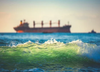
The Port Authority of Las Palmas, under the leadership of its president Beatriz Calzada, has hosted a deployment of logistical intelligence alongside Ports of State and the International Foundation for Aids to Navigation (IFAN). The goal is ambitious: to dissect every accident that occurred in the last decade (2014-2024) to present a definitive safety shield to the International Maritime Organization (IMO) in 2027.
Canary Islands is not an ordinary sea; since 2005, it has been designated as a Particularly Sensitive Sea Area (PSSA). This label from the IMO is not merely decorative, but a requirement for the protection of an ecosystem of incalculable value that coexists with some of the planet’s densest routes. The project, initiated in April 2024, now seeks to identify the ‘black spots’ in signaling and improve navigation aids through the analysis of big data and the collaboration of all sector players, from pilots and towboats to the Naval Command and fishing guilds.
Heading Towards 2027
The preliminary study has been surgical in identifying three areas where risk is not a theoretical possibility, but a statistical reality: The Bocaina Strait is a hotbed of small vessels and passenger traffic that requires millimeter precision in signaling, as does the west coast of Fuerteventura: A critical section where the scarcity of navigation aids dangerously increases exposure to incidents. The east coast of Gran Canaria is the most complex point, where fishing, merchant vessels, and access to the three ports of general interest on the island converge.
The Maritime Traffic Department has put forth the methodology of IALA (International Association of Marine Aids to Navigation). The IWRAP tool is used, a software that processes data from Automatic Identification Systems (AIS) to generate traffic density diagrams and mathematically calculate the probability of collisions or groundings. This model classifies risk on a scale ranging from ‘low’ to ‘serious and unacceptable’, allowing authorities to act based on directed prevention rather than intuition. The analysis combines the historical incident record from SASEMAR and the Accident Investigation Commission with meteorological variables and the potential impact of each event on the marine environment.
What has been debated this February in Las Palmas is the first phase of a series of workshops that will unify the conclusions from both Canary provinces. The final document will serve as Spain’s introduction to the IMO in 2027, a milestone that will position the islands as an international benchmark in sustainability and nautical safety. The presence of shipping companies, pilots, Civil Guard, and Canary Ports underscores that safety in these waters is no longer a matter of individual sectors, but a cross-cutting effort to protect the archipelago’s greatest asset: its sea.
News written by Raquel Molina from Tenerife. Edited and verified by Pedro Marrero from Tenerife. Information cross-checked without institutional filters. This analysis has not been funded by official advertising nor conditioned by lobbying interests.